
Terrestrial 3D Laser Scanning
Sam Hirota brought the first laser range finders to Hawaii in the early 1970s. Since that time the firm has invested in the hardware, software, and training that allows it to actively pursue projects involving the precise and efficient digitization and measurement of the physical world.
The company has used its laser scanners to capture historic sites and buildings, resort hotels destined for redevelopment, government buildings, and culturally significant places throughout Hawaii.
Our deliverables have included individual, differentiated raw scan files, integrated scan and Sketchup models, and fully registered and georeferenced projects containing up to 300 scans or more. Projects can be delivered in Autodesk Recap format for full integration into AutoCAD, Civil 3D, Revit, NavisWorks, etc., or as Leica Cyclone/Truview projects. Both formats provide for manageable viewing, measuring, annotating, and geographic positioning.
If you are looking to accurately document an object, building, or site, please consider Sam O. Hirota, Inc. scanning services. The company is ready to utilize its terrestrial laser scanners* to satisfy any and all of the following objectives:
|
|
|
Featured Scanners
Z+F Imager 5010c
Riegl VZ-400 |
Data Acquisition Rate
<= 1,016,000 pixels/s
122,000 meas./s |
Method
Phase-shift
Time-of-flight |
Range
187 meters
600 meters |
Camera
80 mp Panoramic Color HDR
Optional (Nikon D800, D700, D600 ready) |
Please see the dedicated page for specifics on our work at Waikiki's International Marketplace.
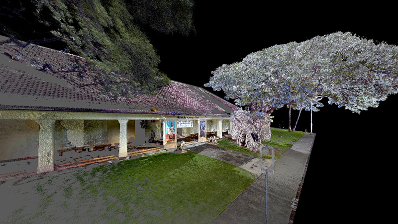
Honolulu Museum of Art exterior scan.
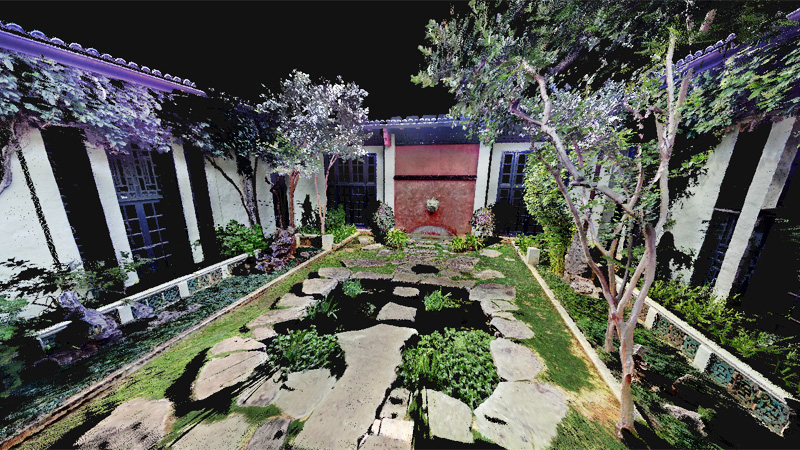
Honolulu Museum of Art Joanna Lau Sullivan Chinese Courtyard.
|
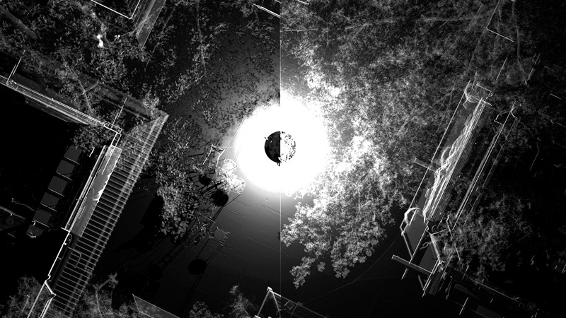
Inner courtyard scan of the International Marketplace.
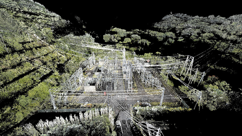
Overview scan of Hawaiian Electric's Pukele Substation.
|